
El Niño could make South Africa’s next summer a scorcher
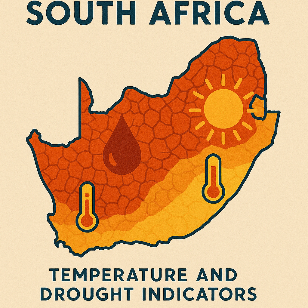
El Niño's return signals significant weather changes for South Africa, from heatwaves and drought to potential floods and power grid strain.
El Niño is coming to South Africa in 2026, bringing big changes. Get ready for much hotter days, with temperatures possibly rising by 1-3 degrees Celsius, and less rain, especially in areas that usually get a lot of summer rain. This could mean scorching heatwaves, not enough water, higher electricity bills, and more expensive food. Even though there's less rain overall, some eastern areas might get super heavy downpours. It's a huge shift, and everyone from farmers to city planners is getting ready for what's ahead.
What are the expected impacts of El Niño on South Africa's weather?
El Niño is expected to bring significant changes to South Africa's weather, including a 1-3 °C increase in monthly mean temperatures and a 20-40% rainfall deficit in the summer-rainfall belt. This could lead to heatwaves, drought, increased electricity demand, and potential food price hikes, while the eastern escarpment might experience intensified rainfall events.
Get Cape Town news in your inbox
Stay updated with the latest stories from the Mother City.
1. A Pacific Whisper Triggers a Continental Siren
Late June 2026, ocean-watchers orbiting Earth spotted a quiet but telling shift: the steady easterly winds that usually shove warm water across the equatorial Pacific had gone slack for the sixth week running. By mid-July the patch of ocean scientists label Niño-3.4 had heated to 0.8 °C above the long-term norm, nudging past the World Meteorological Organization’s “watch” threshold and sprinting toward full alert. South Africa’s own 42-model ensemble, run by the South African Weather Service (SAWS), now paints an almost unanimous picture - neutral conditions will collapse into a moderate-to-strong El Niño that peaks between November 2026 and March 2027. The last time the models agreed this tightly was 2015, the year that delivered South Africa’s hottest October on record and slashed maize yields by a third.
The Pacific’s mood matters because it yanks on an invisible chain that stretches right across the Indian and Southern Oceans. When the eastern tropical Pacific warms, the planet’s great atmospheric “water wheel” known as the Walker Circulation slides east. Thunderstorms that normally boil above Indonesia drift toward the central Pacific, tugging the subtropical jet streams off course. One of those ribbons of fast air is the same highway that guides winter cold fronts toward Cape Town. Under El Niño the highway kinks southward, steering storms into the Southern Ocean and parking a stubborn dome of sinking, warming air over southern Africa. Result: fewer fronts, cloud-free skies, and a 1–3 °C bump in monthly mean temperatures that can last through summer.
SAWS climatologists stress that the change is already baked into the next six months; the only uncertainty is intensity. Historical analogues show that once El Niño crosses the +1 °C mark the odds of a South African heat surge and rainfall dip rise to roughly four in five. With the index now at +0.8 °C and climbing, planners from grain silos to city halls are treating the forecast as a near-certainty rather than a probability.
2. Heat by the Numbers - What “Above-Normal” Means on the Ground
SAWS labels the upper third of its 1991–2020 climate record “above-normal.” In Gauteng that benchmark pushes daytime highs past 34 °C on a regular October afternoon instead of the familiar 30 °C. Night-time relief collapses: thermometers can refuse to dip below 23 °C for weeks, denying the human body the cool-down window it needs. Head to the Lowveld and the dial climbs even higher; Skukuza’s average November maximum leaps from 32 °C to 36 °C, humidity clings in the sixties, and heat stress warnings multiply. Overlay the urban-heat-island effect - Pretoria’s concrete core already runs 4 °C warmer than surrounding farmland at dusk - and the metro’s tally of heat-health-alert days is expected to double from 18 to 35 this season.
The numbers translate into real physiology. At a wet-bulb globe temperature (WBGT) of 32 °C the human cooling system stalls; sweat no longer evaporates fast enough to keep core temperature safe. Johannesburg paramedics logged 1 247 excess deaths during the 2015/16 El Niño, a 9 % rise over the five-year baseline, with the steepest curve among outdoor labourers aged 25–45. NICD has now ordered 45 municipal halls fitted with air-conditioners, misting fans and cots to act as “cooling hubs” from November through April; most sit in informal settlements where metal shacks can hit 42 °C by late morning.
Businesses feel the surge in watts before they feel the sweat. Every extra day above 30 °C in Gauteng lobs roughly 1 000 MW onto the evening peak as rooftops full of air-conditioners roar to life. Over the 2026/27 summer El Niño could inflate national demand by 8–10 %, shrinking Eskom’s thin reserve margin to about 1 500 MW. Three simultaneous unit trips could flip the grid straight to Stage-3 blackouts. Meanwhile Kariba’s reservoir level - already 1.2 m below its July average - may drop another 3 m under the hotter, drier air, slashing the cheap hydropower South Africa routinely imports just when it needs it most.
3. Rainfall Roulette - Droughts, Cloudbursts and the R16-Billion Question
El Niño does not simply subtract rain; it rearranges the drops. The winter-rainfall corner of the Western Cape can emerge almost unscathed because frontal systems still brush past between June and September, only weaker. Once October arrives the true deficit shows up in the summer-rainfall belt. A composite of the past eleven events reveals a 20–40 % shortfall from the Northern Cape through North West, Gauteng, Mpumalanga and southern Limpopo - the very arc that normally churns out 7.5 million tonnes of maize. BFAP economists calculate that a rerun of 2015/16 would lop R16 billion off gross farm income, push red-meat tags up 12 % and force poultry imports 5 % higher.
Yet the same atmospheric shuffle that starves the interior can drown the escarpment. A southward shift of the Mozambique Channel trough funnels moist Congo air onto the eastern escarpment; if a cut-off low ambles in from the South Atlantic the result is 48-hour rainfall tallies of 200–300 mm. That exact script played out in February 2000 when Cyclone Eline arrived during the 1997–98 “super” El Niño, claiming 700 lives and displacing 55 000 Mozambicans. Present odds of another intense land-falling storm have risen 40 % for the coming season even though the total cyclone count across the south-west Indian Ocean may stay flat.
Farmers are not waiting for the first cloud to burst or vanish. The Agricultural Research Council’s drought-smart hybrids ADV 8801 and PAN 3A-120 hold 80 % yield potential on 30 % less water, provided nitrogen is split-applied at the V4 and V12 growth stages. Under a moderate El Niño they could shrink projected revenue losses from R7.3 billion to R1.8 billion. Wine growers, already battling rising sugars, are relocating Pinotage blocks to the cooler Cederberg slopes and installing concrete fermenters that insulate berries, allowing ambient fermentation at 24 °C instead of 30 °C, preserving aromatics when the outside mercury soars.
4. Countdown to Action - From Supercomputers to Township Hoses
SAWS will refresh its seasonal outlook on the first working day of every month until March 2027. Nerds and planners alike track three flashing lights: NOAA’s weekly Niño-3.4 index (out every Monday), Australia’s Southern Oscillation Index, and the 850 hPa height anomalies above the Kalahari that flag heat waves seven-to-ten days ahead. On 27 September the Crop Estimates Committee releases its first maize-planting intentions; if farmers cut commercial area by more than 5 %, domestic futures are expected to pierce R4 000 per tonne for the first time since the Russia–Ukraine conflict.
Early warning, however, only wins when it lands in the right pocket. Every month SAWS hosts a Climate Outlook Forum whose colour-coded maps already sit on 257 municipal disaster desks, guiding fire-ban triggers and malaria-spray schedules. WhatsApp lines blast hazard bulletins to 4 800 Maize-Trust farmers, while USSD codes let subsistence growers in Vhembe pull rainfall odds in Tshivenda or Xitsonga for 20 cents a query. The next upgrade is impact-based phrasing - instead of “30 % chance of >50 mm,” the alert will read “localised informal-settlement flooding likely in Alexandra, 14:00–18:00.” Pilot testing begins in October on a R12 million Green Climate Fund grant.
City engineers are also pre-loading their moves. Rand Water’s models show that a 15 % rainfall deficit coupled with 2 °C warming raises evapotranspiration by 25 %, trimming 400 million litres a day from the Vaal system - Tshwane’s entire daily gulp. Phase-1 water restrictions (no garden watering 06:00–18:00) kick in when reservoirs drop 1.4 m; Phase-2 hose bans at 1.8 m. Current odds point to January 2027 for the first threshold. Cape Town, scarred by its 2017–19 “Day Zero” drama, has already fired up new Table Mountain Group aquifer boreholes and is quietly pressure-testing the pipeline valves that link the 150 Mℓ/d Strandfontein desal plant to the city grid, ready if the taps begin to wheeze.
From the Pacific’s slow-motion burp to a township tap trickle, the chain reaction is already in motion. Whether the story ends in blackouts, empty dams or record food prices now depends less on the ocean and more on how quickly households, boardrooms and bureaucrats turn forecast into deed.
What is El Niño and when is it expected to impact South Africa?
El Niño is a climate pattern characterized by the warming of the equatorial Pacific Ocean. This warming disrupts global weather patterns. South Africa is expected to experience a moderate-to-strong El Niño event, with its peak impact anticipated between November 2026 and March 2027.
How will El Niño affect South Africa's temperatures?
El Niño is projected to cause a significant increase in temperatures across South Africa, with monthly mean temperatures potentially rising by 1-3 degrees Celsius. This could lead to more frequent and intense heatwaves, particularly in areas like Gauteng, where daytime highs could regularly exceed 34 °C, and in the Lowveld, where November maximums might reach 36 °C. Night-time temperatures are also expected to remain higher, impacting human physiology and increasing the risk of heat stress.
What are the expected impacts on rainfall and water resources?
While El Niño is generally associated with reduced rainfall, its effects will vary across South Africa. The summer-rainfall belt, extending from the Northern Cape to southern Limpopo, is forecast to experience a 20-40% rainfall deficit, potentially leading to drought conditions. Conversely, some eastern areas, particularly the escarpment, could face intensified heavy downpours due to a southward shift of the Mozambique Channel trough. This rainfall deficit, coupled with increased temperatures and evapotranspiration, could severely strain water resources, with Rand Water models indicating a potential 400 million liters per day reduction from the Vaal system, potentially triggering water restrictions.
How will El Niño affect agriculture and food prices?
The agricultural sector is highly vulnerable to El Niño. A rerun of the 2015/16 El Niño's impact could lead to a R16 billion reduction in gross farm income, with maize yields potentially slashed by a third. This could result in a 12% rise in red-meat prices and a 5% increase in poultry imports. Farmers are already adopting drought-smart hybrid crops and adjusting agricultural practices to mitigate these impacts, but food price hikes are a strong possibility.
What are the potential impacts on electricity supply and infrastructure?
The increased temperatures during El Niño will likely lead to a surge in electricity demand, primarily due to increased use of air conditioning. Every extra day above 30 °C in Gauteng could add roughly 1,000 MW to the evening peak. Overall, El Niño could inflate national electricity demand by 8-10%, shrinking Eskom's reserve margin and increasing the risk of Stage-3 blackouts if multiple power units trip simultaneously. Furthermore, water levels in hydropower dams like Kariba could drop, reducing the availability of imported electricity.
What measures are being taken to prepare for El Niño's impact?
South Africa is implementing various preparatory measures. The South African Weather Service (SAWS) provides monthly seasonal outlooks and early warning systems, including WhatsApp alerts for farmers and USSD codes for subsistence growers. Cooling hubs are being established in municipal halls, especially in informal settlements, to provide relief during heatwaves. City engineers are preparing for potential water restrictions, and Cape Town, having experienced its 'Day Zero' crisis, is reactivating boreholes and testing desalination plant infrastructure. Farmers are adopting drought-resistant crops and adapting cultivation techniques to minimize losses.

Tumi Makgale is a Cape Town-based journalist whose crisp reportage on the city’s booming green-tech scene is regularly featured in the Mail & Guardian and Daily Maverick. Born and raised in Gugulethu, she still spends Saturdays bargaining for snoek at the harbour with her gogo, a ritual that keeps her rooted in the rhythms of the Cape while she tracks the continent’s next clean-energy breakthroughs.
View all articles →