Cape Town has been hit hard by a huge downpour, turning roads into rivers and causing serious flooding everywhere. Major routes like Nelson Mandela Boulevard and the N1 are submerged, making travel nearly impossible. Residents are sharing scary stories of navigating the chaos, with some areas completely blocked by mud and water. Local authorities are urging everyone to stay safe, avoid driving, and report dangerous conditions. This severe weather shows both the city’s struggles and the strength of its people as they come together to face nature’s fury.
What are the effects of the recent torrential downpour in Cape Town?
Cape Town has experienced severe flooding due to heavy rainfall, leading to road closures, traffic disruptions, and infrastructural damage. Key routes like Nelson Mandela Boulevard and the N1 are submerged, while suburban areas like Boys Drive and Baden Powell Drive are also affected, creating hazardous conditions for drivers.
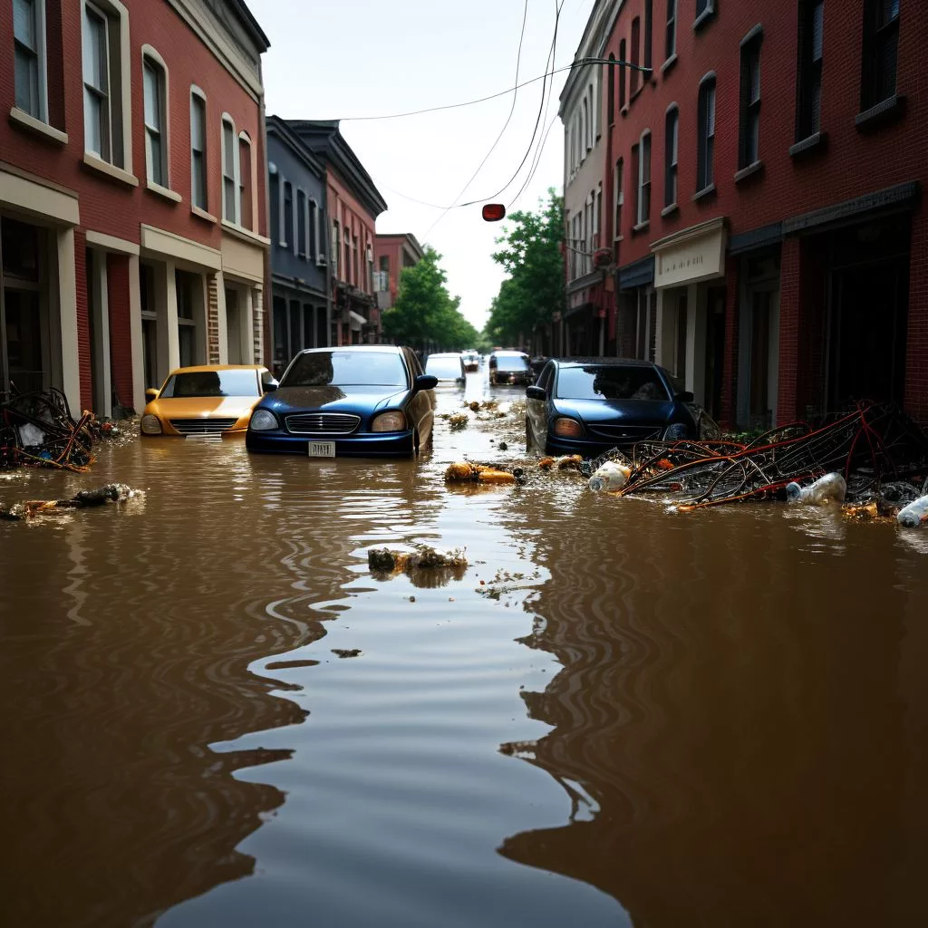
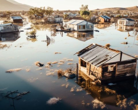
Cape Town, famed for its iconic Table Mountain and stunning beaches, found itself at the mercy of a relentless natural onslaught today. The city experienced severe rainfall that caused a cascade of issues, plunging the urban environment into chaos marked by extensive flooding, severe traffic disruptions, and infrastructural breakdowns. Both residents and visitors are now contending with a dramatically altered cityscape, where roads have transformed into raging rivers and mudslides have blocked essential pathways.
A City in Crisis: The Immediate Impact
Municipal authorities have urgently advised motorists to avoid the roads unless absolutely necessary, highlighting the severity of the situation. Key routes have been overwhelmed by the deluge, with Nelson Mandela Boulevard becoming particularly hazardous near Newmarket Street due to significant submersion. This usually bustling thoroughfare now lies underwater, serving as a stark reminder of the storm’s intensity.
Flooding has also closed the right lane of the N1 inbound at Durban Road, a crucial route connecting several suburban areas to the city center. This disruption has created a significant bottleneck, exacerbating an already dire traffic situation. Additionally, multiple trouble spots have appeared along the N2 outbound, especially between Robert Sobukwe Road and Airport Approach Road, as well as at Liesbeek Parkway, where the right lane remains blocked.
The Suburbs: Not Spared from Nature’s Wrath
The suburban regions have not been spared the storm’s fury. Boys Drive, a road leading to the picturesque Kalk Bay, has experienced partial flooding near a speed camera, resulting in the closure of the left lane. Baden Powell Drive, notorious for its susceptibility to flooding, has been severely affected between JK Masemola/Macassar Road and the N2, eastbound. Similarly, Sunrise Boulevard, which heads westward toward Muizenberg, now lies submerged, converting what is normally a scenic drive into a perilous journey.
Drivers are being warned to reduce their speed and exercise extreme caution due to deep water and poor visibility. The city’s advisories paint a bleak picture of the flood’s extensive reach, emphasizing the vast network of compromised roads and the heightened risks for travelers.
Personal Accounts: Navigating the Deluge
Local residents are sharing their harrowing experiences. John, a Muizenberg resident, recounts his difficult journey: “I’ve never seen anything like this. The roads are like rivers, and visibility is so bad, I could barely see the car in front of me.” His firsthand account encapsulates the shared struggles many Capetonians face as they grapple with the sudden onslaught of nature’s fury.
The Far-Reaching Effects: Beyond the Urban Core
The rainstorm’s impact extends beyond the city center, reverberating across key routes. Ou Kaapse Weg, a significant connector toward Tokai, is experiencing heavy delays between the S-Bend and Steenberg Road. Kommetjie Road, another essential route, is suffering from severe waterlogging, drastically reducing visibility and adding to the growing list of traffic woes.
In the southern peninsula, Main Road between Simon’s Town and Fish Hoek is heavily flooded in multiple areas. Vehicles are being forced to make U-turns at Glencairn, unable to proceed due to the overwhelming floodwaters. Nearby, the road near Harbour Bay Mall and the historic Kelp Factory has been rendered impassable by mudslides. The Simon’s Town train station and the adjacent Glencairn Beach area are completely submerged, further illustrating the widespread impact of this natural disaster.
Infrastructural Failures: A Retaining Wall Collapse
A dramatic incident occurred when a retaining wall near the bridge over the N1 behind Tyger Valley collapsed under the relentless rain. This collapse happened near a golf driving range and resulted in a cascade of mud and water spilling onto the road. Authorities have sealed off the area, advising motorists to steer clear to avoid potential hazards.
Civic Response: Monitoring and Mitigation
Emergency services and city authorities are on high alert, tirelessly monitoring flood-prone areas and responding to distress calls across the metropolitan area. The City of Cape Town’s disaster risk hotline has become an essential resource for residents, who are being urged to stay indoors, delay travel, and report any hazardous conditions or blocked stormwater drains.
The city’s preparedness and response systems are being tested to their limits as they work to mitigate the risks posed by this severe weather event. Authorities are striving to minimize the impact on residents and infrastructure, ensuring that assistance reaches those in need swiftly and efficiently.
Historical and Artistic Reflections: Nature’s Duality
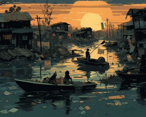
This event serves as a poignant reminder of the duality of nature—a theme that resonates in both historical and artistic narratives. Cape Town, often depicted in art and literature as a haven of beauty and tranquility, now grapples with nature’s more tempestuous side. The transformation of serene landscapes into treacherous terrains echoes the Romantic era’s fascination with nature’s sublime and awe-inspiring power.
Artists like J.M.W. Turner, who depicted tumultuous seascapes and stormy skies, offer parallels to Cape Town’s current plight. Turner’s works often explored the tension between the natural world’s beauty and its potential for destruction—a theme that resonates deeply with the city’s current struggles.
Cape Town’s encounter with unrelenting rainfall and the ensuing chaos underscores both the city’s vulnerabilities and its resilience. As residents navigate these challenges, their stories and experiences become woven into the broader tapestry of the city’s history. While today’s events starkly contrast with the usual narrative of Cape Town’s idyllic charm, they also highlight the community’s strength in the face of adversity.
As emergency services continue their efforts and the city works to restore normalcy, Cape Town stands as a living testament to nature’s unpredictable power and the enduring spirit of its inhabitants. The ongoing battle against the elements underscores the importance of preparedness and the collective resilience that defines this vibrant metropolis.
FAQ: Cape Town’s Recent Torrential Downpour
What caused the severe flooding in Cape Town?
The recent torrential downpour in Cape Town has resulted in extensive flooding throughout the city. Heavy rainfall transformed roads into rivers, leading to significant travel disruptions and infrastructural damage across various routes.
Which major routes are affected by the flooding?
Key routes such as Nelson Mandela Boulevard and the N1 are severely impacted, with parts submerged under water. Other affected areas include Boys Drive, Baden Powell Drive, and sections of the N2, creating hazardous conditions for all travelers.
What should residents do during this flooding event?
Local authorities are advising residents to stay indoors and avoid driving unless absolutely necessary. If travel is unavoidable, extreme caution should be exercised due to poor visibility and dangerous road conditions. Residents are also encouraged to report any hazardous situations to the City’s disaster risk hotline.
How are emergency services responding to the situation?
Emergency services and city authorities are on high alert and actively monitoring flood-prone areas. They are responding to distress calls and working to assist residents affected by the flooding. Their efforts include managing road closures and ensuring public safety.
What are some personal accounts from residents during the storm?
Residents have shared harrowing experiences navigating the flooded streets. Many have reported low visibility and blocked roads, with one resident describing their experience as “the roads are like rivers.” These accounts highlight the chaos and difficulty faced by the community during this natural disaster.
What long-term impacts may arise from this weather event?
This severe weather not only poses immediate risks but may also lead to long-term infrastructural challenges, such as road maintenance and repair costs. The event serves as a reminder of the city’s vulnerabilities to natural disasters and the need for improved preparedness and response strategies in the face of future storms.

