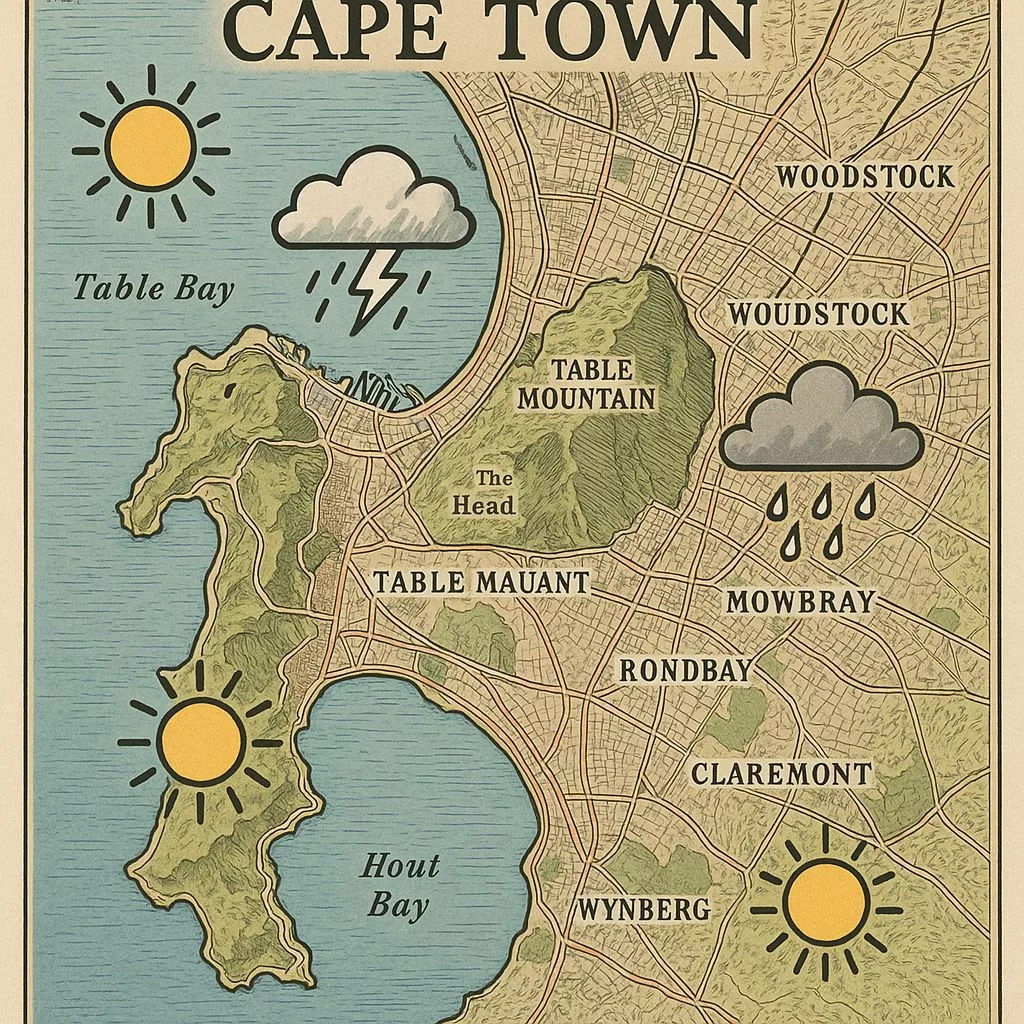
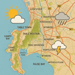
Cape Town on December 12th will be a day of weather drama! Expect a battle between fading drizzle and new cold air, creating a mix of clouds, clear skies, and different conditions everywhere. You’ll see mist, feel strong winds, and there’s even a chance of thunder and rain. Don’t forget your sunscreen and a jacket – the weather will keep you on your toes!
South Africa is experiencing a Level2 yellow thunderstorm alert. This means moderate disruptions are expected due to strong storms with frequent lightning, heavy rain, and damaging hail. Four different air masses colliding create a dynamic weather pattern across the country, leading to diverse conditions from hot, dry areas to cool, misty zones. From the lightningprone Highveld to the stormsqueezing escarpments and coastal microclimates, understanding these weather warnings is crucial for safety and planning. This intense weather is further impacted by climate change, making accurate data and public awareness more important than ever.
Cape Town is boiling hot in December because a big air system called the South Atlantic High moves too close. This system pushes air down, making it hot. Then, another air layer acts like a lid, trapping all that hot air. This makes the city feel super warm, much hotter than usual, causing everyone to reach for sunscreen and cold drinks.
Our surroundings constantly surprise us with an array of wonders, and the sky is no exception. Among the many breathtaking natural phenomena, lenticular clouds stand out. These extraordinary cloud formations captivate onlookers with their remarkable appearance, often resembling unidentified flying objects. Join us as we explore the fascinating world of lenticular clouds and the meteorological elements that lead to their formation.