
SEVERE WEATHER ALERTS
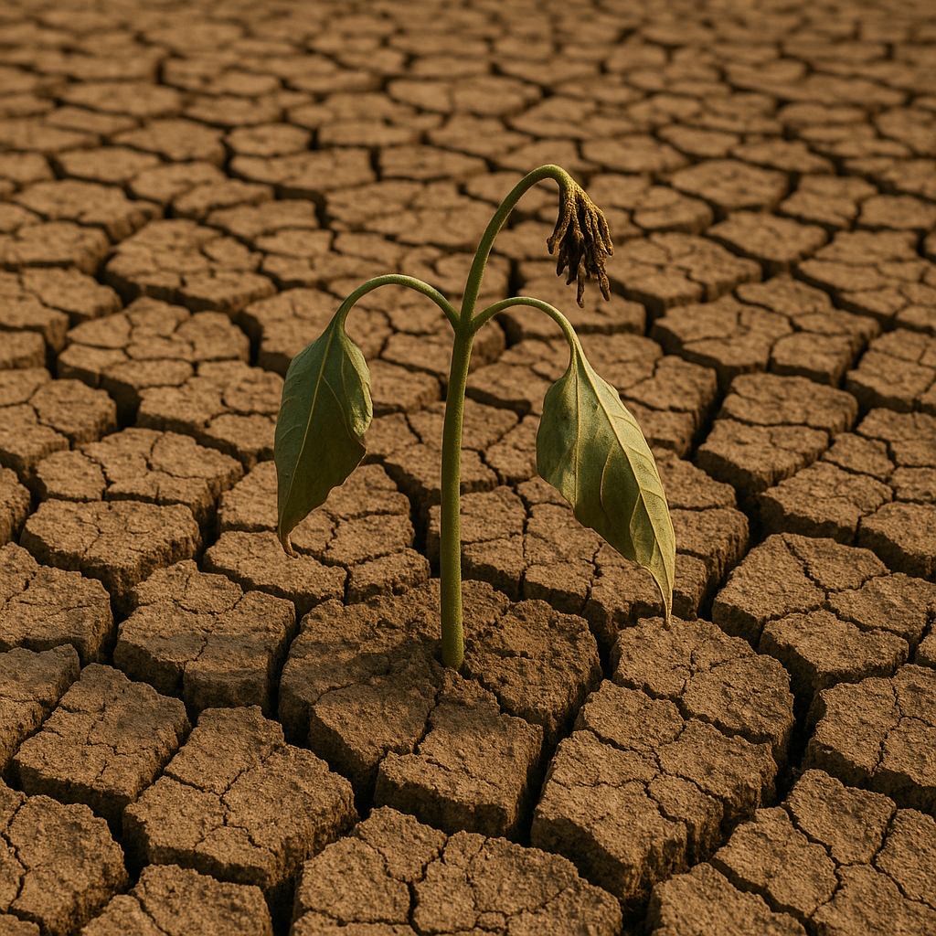
SA braces for a week-long heatwave with temps soaring above 40°C in some areas. Stay safe, hydrated & be aware of fire risks.
South Africa is facing a serious heatwave, like a giant pot cooking the land. High-up winds are making it super hot, with some places hitting over 40°C! This means a higher risk of fires and tough times for farms and people. Everyone needs to stay safe and cool during this intense heat.
What is causing the heatwave in South Africa?
South Africa is experiencing a heatwave due to a high-altitude anticyclone, acting like a "cast-iron pot," funnelling dry winds and causing surface pressure to climb. This weather pattern will lead to extreme temperatures, with some areas potentially breaching 40 °C for several consecutive afternoons, increasing fire risk and impacting various sectors.
Get Cape Town news in your inbox
Stay updated with the latest stories from the Mother City.
The Atmospheric Trap: Why the Thermometer Won’t Budge
South Africa is about to host a stubborn lid of blazing air. A high-altitude anticyclone has settled over the interior like a cast-iron pot left on the stove, funnelling furnace-dry winds toward the Cape Fold mountains and the Great Escarpment. Surface pressure keeps climbing, squeezing the mercury upward day after day. Forecasters at SAWS warn the pattern will hold until a faint Southern Ocean trough finally nudges the dome late Friday - too late for Gauteng and the far north, which will swelter almost unchanged.
The heat will not be equally distributed. Coastal humidity will disguise the assault with “feels-like” numbers that still exceed long-term averages, while inland basins bake under cloudless skies. The Namakwa, Little Karoo and Central Karoo districts are on track to breach 40 °C for four consecutive afternoons, pushing fire-danger indices toward the red extreme band and evaporating soil moisture within hours.
Energy demand, farm schedules, ambulance call-outs and even the speed of commuter trains will all feel the ripple effect. Below, the country is split into regions so you can see exactly how the heat will bite where you live, work or travel.
Gauteng & Heartland Neighbours: Cloud Veils, Invisible Fires
Johannesburg, Tshwane and Ekurhuleni sit just outside the core heat dome, yet the urban heat island will still nudge midnight readings above 20 °C. A thin veil of Bushveld moisture will drift in each afternoon, painting the sky milky-white but trimming only a degree or two from peak temperatures. Expect 29 °C Tuesday, 31 °C Wednesday, 30 °C Thursday and 28 °C Friday.
Night lows in leafy southern suburbs may bottom at 16 °C, yet the inner city and dense townships never dip below 20 °C. Winds stay light and erratic, except for a brief 15 km/h northerly around 11:00 that feels like someone opening an oven door. The UV index rockets to 9–10, enough to scorch unprotected skin in fifteen minutes.
No rain is forecast, so irrigation demand will surge. Rand Water has pre-emptively lifted bulk-supply limits, allowing Tshwane commercial growers to draw 110 % of normal allocation. Outdoor crews should down tools before 09:30 and resume after 15:30, re-applying SPF 50+ every 120 minutes.
Limpopo & Mpumalanga: Three Micro-Climates in One Province
In Mpumalanga the escarpment, Lowveld and western highlands each write their own weather story. Fog puddles in Highveld valleys until 08:00, then rapid heating triggers lonely thunderstorms that drop 0.5–4 mm - enough to settle dust, not dams. Mbombela and Kruger’s fence line keep a 60 % shower chance; a single cloudburst could unload 15 mm and a yellow-level-1 flash-flood alert.
Limpopo’s Blouberg and Soutpansberg ridges will grow afternoon clouds that spill thundershowers after 14:00. The central plateau around Polokwane stays partly cloudy and warm with only a 10 % rain risk. Temperatures climb to 29–33 °C across the province; livestock owners should erect 60 % shade cloth and keep water troughs flowing to protect Boer goats and black-headed sheep.
Macadamia and avocado growers near Tzaneen must increase irrigation to 120 % of crop-coefficient guidelines because evapotranspiration will top 5 mm per day. Over the Lowveld, night temperatures refuse to drop below 21 °C, turning storerooms into saunas unless fans run continuously.
Northern & Western Cape: The Scorched Core
The Northern Cape becomes the furnace heart. Upington is pencilled in for 43 °C midweek; Riemvasmaak could hit 45 °C and the lower Orange River valley 46 °C. Fire-danger indices will surge beyond 90, triggering red “extremely high” warnings. A mid-level trough may drift in from Angola late afternoon, but any precipitation will evaporate before touchdown - virga trails that only taunt the parched earth.
Port Nolloth catches a sliver of relief: fresh southerly winds at 30–40 km/h feed the “Benguela” air conditioner and hold noon temperatures near 27 °C. Over the Western Cape the climate gradient turns theatrical. George and Knysna start at 18 °C, leap to 34 °C by 14:00, then collapse when a sea-breeze barges in. Oudtshoorn faces 42 °C, Laingsburg 44 °C.
Cape Town itself will peak at 36 °C on Wednesday. The city’s disaster centre has opened Level-1 heat-health alerts, adding water-misting stations at taxi ranks and ordering trains to slow to prevent rail-buckling. UV values top 10.5; fresh easterly winds at 35–45 km/h whip up rough seas and a moratorium on open-flame work permits after 10:00 is already in force across the Winelands.
Eastern Seaboard & Interior Plateau: Firebreaks, Fog and Stock Licks
Eastern Cape halves tell different tales. Cradock and Graaff-Reinet will roast at 37 °C, while Port Elizabeth times its south-westerly sea wind to keep the mercury near 29 °C. Mthatha climbs to 33 °C; fog in the Kei mouth lingers until 09:00 before a 25 km/h north-easterly takes over. The only hope for rain sits over Barkly East where a lone thunderstorm might deliver 5 mm Thursday night.
KwaZulu-Natal’s onshore breeze drags Indian Ocean fog into the Midlands until 08:30, then lifts the cloud base to 2 km. Richard’s Bay and the Hluhluwe corridor carry a 5–10 mm shower risk; Durban’s beachfront faces 1.5 m shore-break and stinging bluebottles blown in by persistent easterlies. Despite cloud, the UV index stays Low (2) yet fair skins can still burn after 45 unprotected minutes.
Free State farmers must scrape 3-metre fire breaks along north-facing fence lines once morning fog lifts and relative humidity dives below 20 %. North West maize at pre-tassel stage will roll leaves by noon; producers should irrigate at 110 % of FAO-56 rates and deploy spraying drones while winds remain light. Fire-danger indices there stay below 55, but one spark can still run under such dry air.
Power, Health & Pocketbook: What the Heat Costs You
Eskom expects peak demand to swell by 1 800 MW above March’s baseline. Dry-cooled units at Medupi and Matimba lose 300 MW each as overheated compressors hiccup, forcing open-cycle gas turbines at Ankerlig and Gourikwa to run at midday. Municipalities can trim 220 MW by dimming high-mast lights 30 % between 18:00 and 22:00.
Human bodies pay the steeper price. When wet-bulb globe temperature crosses 32 °C, hyperthermia risk climbs exponentially. In the Northern Cape’s 45 °C and 10 % humidity the WBGT hits 27 °C - dangerous for endurance sport. At Richard’s Bay’s 35 °C and 60 % humidity the index reaches 31 °C, near the survival threshold for the unacclimatised. Drink 500 ml of water every hour during peak heat, avoid sugary drinks, and learn the red-flag triad: confusion, hot dry skin, core temp >40 °C. Ice the groin and armpits while you dial 10 177.
Tour operators adjust. Kruger gates open at 05:30 and close night drives at 19:00; midday bush walks are cancelled above 38 °C. Table Mountain’s Hoerikwaggo Trail enforces shade breaks every 45 min and a compulsory 4 L water load. Sardine watchers on the Wild Coast can expect compressed Agulhas Current and better bait-ball odds off Port St Johns thanks to the same easterlies that bake the interior.
Agriculture races the clock. Maize and soya in grain-fill abort kernels if nights stay above 20 °C for three straight nights - exactly what Free State and North West will experience. Stone-fruit must leave orchards before 08:30 to escape sun-scald. Stellenbosch wine grapes could accumulate 1.8 °Brix per day; rapid harvest and 8 °C cold storage are essential to avoid volatile acidity spikes. Feedlots should cut stocking density to 85 %, add 15 % more water points and sprinkle shade cloth with 200 L h⁻¹ evaporative coolers.
Fast Facts & Quick Wins to Outsmart the Blaze
South Africa’s highest verified March temperature is 45.2 °C recorded at Vioolsdrif on 24 March 2015. If Upington touches 43 °C, the nation will sit only two degrees shy of that late-season record. Attribution science shows heatwaves like this are now 3.5 times more probable than in 1900, and the frequency is still accelerating.
Radiation intensity here peaks 30 % above European levels at the same solar angle because the ozone column is thinner and aerosol load is lower. A cotton T-shirt offers only SPF 5–7 when dry and drops to SPF 3 once sweat-soaked. Dark, tightly woven fabrics and 99 % UV-blocking sunglasses (look for SANS 1647:2019 on the label) are cheaper than dermatology bills.
Coastal winds will blow: 25–35 km/h southerlies along the West Coast, 30–40 km/h easterlies on the South Coast, and 20–30 km/h north-easterlies north of Durban. Small-craft skippers must stay within one nautical mile of shore where wave faces exceed 2 m.
Finally, remember the rule of two hours: re-apply sunscreen, check on elderly neighbours, refill pet bowls, and scan irrigation lines for leaks. The heat dome will break eventually, but your skin, livestock, crops and power grid will remember how well you prepared.
[{"question": "
What is causing the current heatwave in South Africa?
", "answer": "South Africa is experiencing a severe heatwave due to a high-altitude anticyclone, which acts like a 'cast-iron pot' over the interior. This weather pattern funnels dry winds and causes surface pressure to climb, leading to extreme temperatures. This phenomenon is also linked to climate change, making such events 3.5 times more probable than in 1900."}, {"question": "Which regions will be most affected by the extreme heat?
", "answer": "The Northern Cape, particularly areas like Upington, Riemvasmaak, and the lower Orange River valley, is expected to be the furnace heart, with temperatures potentially reaching 45°C or even 46°C. The Namakwa, Little Karoo, and Central Karoo districts are also projected to breach 40°C for several consecutive afternoons. The Western Cape, including Oudtshoorn and Laingsburg, will also face extreme temperatures, while coastal areas might experience some relief from sea breezes."}, {"question": "How will the heatwave impact daily life and infrastructure?
", "answer": "The heatwave will have far-reaching impacts. Energy demand is expected to surge, potentially straining Eskom's power supply. Agriculture will be significantly affected, with increased irrigation needs and risks to crops and livestock. Human health is a major concern, with an elevated risk of hyperthermia, especially for unacclimatized individuals. Commuter trains may need to slow down due to rail-buckling risks, and fire danger indices will reach extreme levels, leading to moratoriums on open-flame work permits."}, {"question": "What are the health risks associated with this heatwave and how can people stay safe?
", "answer": "The primary health risk is hyperthermia, especially when the wet-bulb globe temperature (WBGT) crosses 32°C. Symptoms like confusion, hot dry skin, and a core body temperature above 40°C are red flags requiring immediate medical attention (dial 10177). To stay safe, it's recommended to drink 500 ml of water every hour during peak heat, avoid sugary drinks, and apply SPF 50+ sunscreen every 120 minutes. Outdoor crews should avoid working during peak heat hours, and shade breaks are crucial for activities like hiking."}, {"question": "How will different provinces experience the heatwave?
", "answer": "Gauteng and its heartland neighbours will experience high temperatures, with urban areas seeing midnight readings above 20°C. Limpopo and Mpumalanga will have varied micro-climates, with some areas seeing thundershowers while others remain hot. The Eastern Cape will see a divide, with interior areas like Cradock and Graaff-Reinet roasting, while coastal cities like Port Elizabeth get some relief from sea breezes. KwaZulu-Natal will have onshore breezes bringing fog, but temperatures will still be high. The Free State and North West are at risk of agricultural impacts and fire."}, {"question": "What measures are being taken to mitigate the effects of the heatwave?
", "answer": "Rand Water has lifted bulk-supply limits to support irrigation. Municipalities are considering dimming high-mast lights to reduce power demand. In Cape Town, disaster centers have opened Level-1 heat-health alerts, adding water-misting stations at taxi ranks and slowing trains. Kruger National Park is adjusting gate opening and closing times, and cancelling midday bush walks. Farmers are advised to implement measures like increased irrigation, shade cloth for livestock, and scraping fire breaks."}]
Sizwe Dlamini is a Cape Town-based journalist who chronicles the city’s evolving food scene, from boeka picnics in the Bo-Kaap to seafood braais in Khayelitsha. Raised on the slopes of Table Mountain, he still starts every morning with a walk to the kramat in Constantia before heading out to discover whose grandmother is dishing up the best smoorsnoek that day.
View all articles →